impressions


Details
| Difficulty | difficult |
| Stamina | |
| Experience | |
| Landscape | |
| Highest point | 1590 m |
| Lowest point | 1439 m |
| Jun | |||
| Jul | Aug | Sep | Oct |
EMERGENCY CALL:
140 Alpine Emergencies Austria-wide
144 Alpine emergency Vorarlberg
112 Euro emergency call (works with any mobile phone/network)
For more information please visit www.vorarlberg.travel/safety
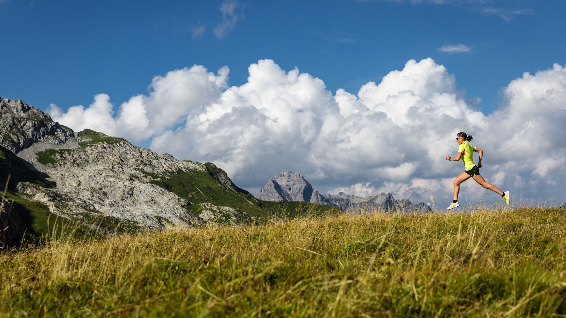
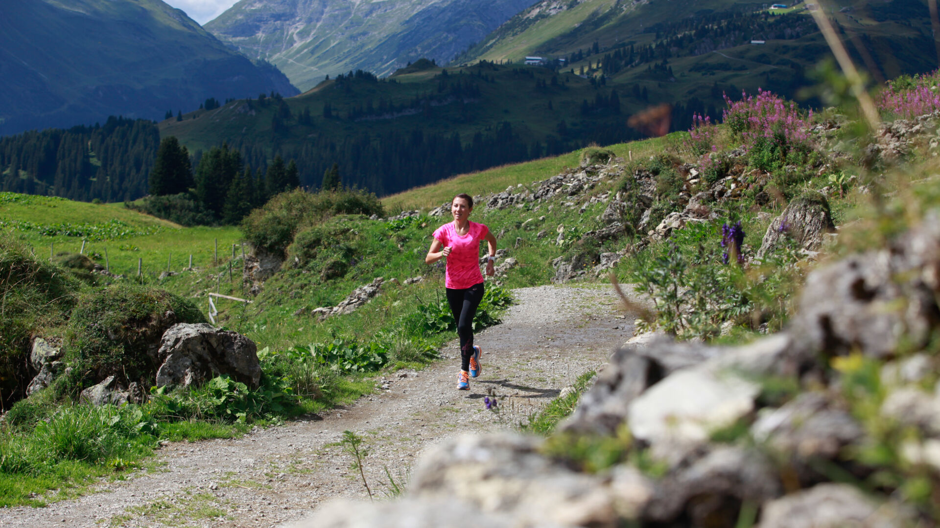
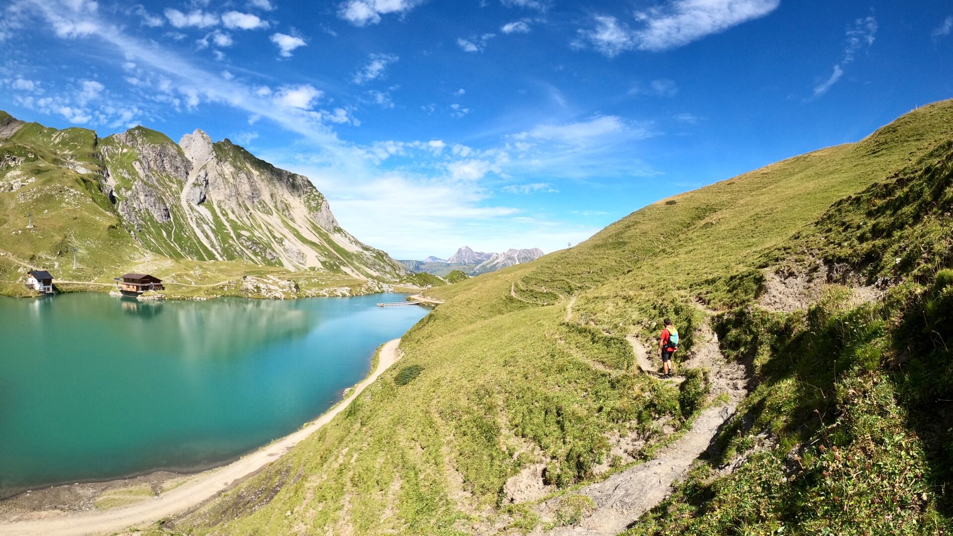
The jogging route leads from the post garage up the Lech along the Spar supermarket in the direction of Omeshorn. At Omesberg turn left onto a wide gravel road. At the foot of the Omeshorn, the forest path leads in the direction of Gstütalpe. After about 100 metres you come to the first turn-off. But we continue and take the second turnoff to the left towards Wiesele. Straight ahead the path leads to the Gstütalpe and to the summit of the Omeshorn. The path runs through the forest, directly along the slope. To the left a little further down, one sees the Zürsbach. The narrow path is surrounded by mountain pines and medium-high trees. After about 15 minutes the path makes a left turn and leads downhill towards Zürsbach. You can already see a bridge over the Zürsbach. If you cross the stream, the path continues to Zürs on the right. However, we do not cross the brook but walk along the path along the banks of the Lech back to Lech.
Mit der Bahn bis zum Bahnhof Langen am Arlberg oder St. Anton am Arlberg. Von dort fahren Busse (Nr. 750+760) im regelmäßigen Takt nach Lech Zürs am Arlberg.
Aus Deutschland: Über die A 96 bis Bregenz von dort auf der A14 bis nach Bludenz, weiter auf der S16 bis zur Ausfahrt Lech Zürs am Arlberg. Auf der B197 durch Stuben über die Serpentinen zur Flexengalerie und über den Flexenpass gelangen Sie nach Lech Zürs am Arlberg.
Aus der Schweiz: Über die A13 und den Grenzübergang Feldkirch, Hohenems oder Lustenau auf die A14 bis nach Bludenz. Weiter auf der S16 bis zur Ausfahrt Lech Zürs am Arlberg. Auf der B197 durch Stuben über die Serpentinen zur Flexengalerie und über den Flexenpass gelangen Sie nach Lech Zürs am Arlberg.
Aus Österreich: Über die Inntalautobahn A12 und weiter über die S16 bis zur Ausfahrt St. Anton am Arlberg (Arlbergpass). Der B197 zunächst durch St. Anton, dann durch St. Christoph und über den Arlbergpass bis zur Alpe Rauz folgen. Hier rechts biegen auf die B198. Durch die Flexengalerie und über den Flexenpass gelangen Sie nach Lech Zürs am Arlberg.
Sie können Ihr Fahrzeug entweder direkt bei Ihrem Gastgeber parken oder in der Tiefgarage Anger abstellen. Die Tiefgarage befindet sich direkt im Ortszentrum gegenüber der Raiffeisenbank Lech.
running shoes, sportswear, Nordic walking equipment