impressions


Details
| Difficulty | moderate |
| Stamina | |
| Experience | |
| Landscape | |
| Highest point | 2414 m |
| Lowest point | 1712 m |
| Jun | |||
| Jul | Aug | Sep | Oct |
EMERGENCY CALL:
140 Alpine Emergencies Austria-wide
144 Alpine Notfälle Vorarlberg
112 Euro emergency call (works with any mobile phone/network)
www.vorarlberg.travel/sicherheitstipps
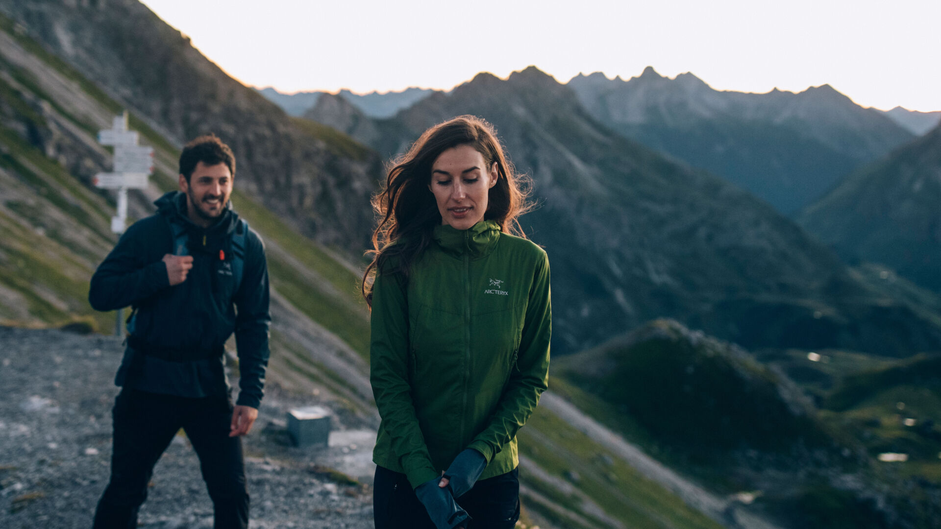
From the hike starting point at the Rüfiplatz you reach the Rüfikopfbahn cable car. Take the cable car up the (1) Rüfikopf (2,350m). From here, take the wide alpine path downhill until you reach a signpost. Take the hiking trail to the left uphill to a pass. Continue along a relatively steep path with hairpins going downhill to a saddle. Follow the path downhill to the valley floor of the (2) Ochsengümple. Follow the trail to the right to the very end of the valley. There are no more significant changes in altitude after this. From here, the trail becomes a little steeper going uphill until you reach a junction. Turn right going uphill to the (3) Rauhekopfscharte. Then continue gently downhill to the (4) Stuttgarter hut. After a bite to eat, follow the trail going steadily downhill until you reach a mountain torrent. The trail continues quite steeply downhill to the valley floor of the (5) Pazüeltal.From here, the path continues in a gentle downward slope to the Trittalpe. Continuealong a supply road gently downhill until you reach a paved back road in Zürs am Arlberg. Follow the road, continuing downhill past the (6) mountain church, until you reach the main road. The hiking bus will take you back to the starting point from there.
By train to Langen am Arlberg station or St. Anton am Arlberg. From there, buses (No. 750+760) run regularly to Lech Zürs am Arlberg.
From Germany: Take the A96 motorway to Bregenz from there on the A14 motorway to Bludenz, continue on the S16 to the Lech Zürs am Arlberg exit. Follow the B197 up to Alpe Rauz, turn left here onto the B198 through Flexengalerie and over the Flexenpass to Lech Zürs am Arlberg.
From Switzerland: Via the A13 motorway and the Feldkirch, Hohenems or Lustenau border crossing on the A14 motorway to Bludenz. Continue on the S16 until exit Lech Zürs am Arlberg. Follow the B197 up to Alpe Rauz, turn left here onto the B198 through Flexengalerie and over the Flexenpass to Lech Zürs am Arlberg.
From Austria: Via the Inntalautobahn A12 and then via the S16 to the exit St. Anton am Arlberg (Arlberg Pass). Follow the B197 first through St. Anton, then through St. Christoph and over the Arlbergpass to Alpe Rauz. Turn right here onto the B198, drive through Flexengalerie and over the Flexenpass to Lech Zürs am Arlberg.
You can either park your vehicle directly at your host or park it in the underground garage in Anger. The underground car park is located directly in the centre of town opposite Raiffeisenbank Lech.
Good footwear (ankle high, profile sole), rain protection, Lech Card and bus timetable.