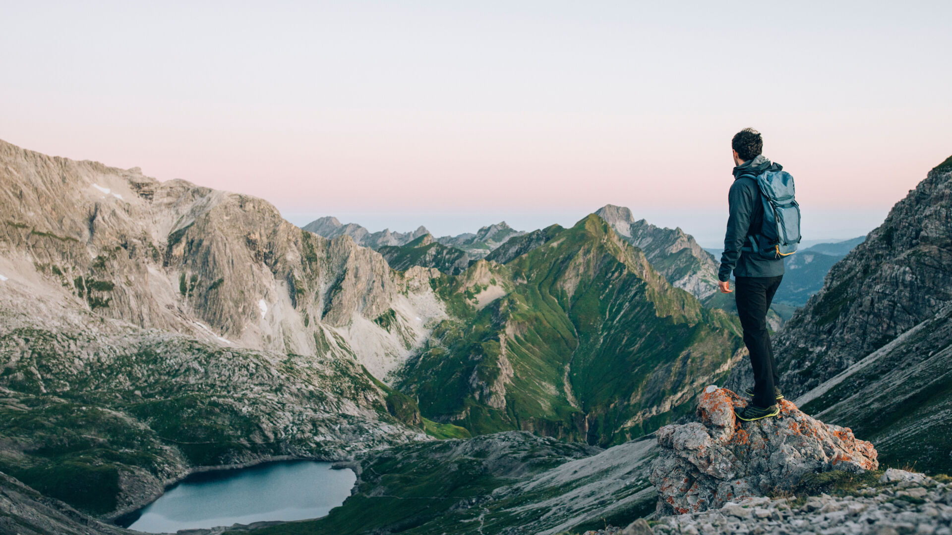
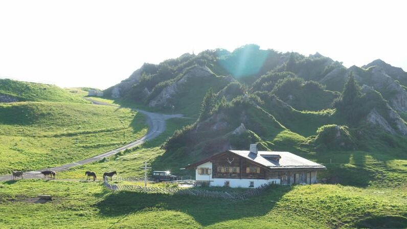
impressions


Details
| Difficulty | difficult |
| Stamina | |
| Experience | |
| Landscape | |
| Highest point | 2542 m |
| Lowest point | 1643 m |
| Jun | |||
| Jul | Aug | Sep | Oct |
EMERGENCY CALL:
140 Alpine Emergencies Austria-wide
144 Alpine Noträlle Vorarlberg
112 Eruo emergency call (works with any mobile phone/network)
www.vorarlberg.travel/sicherheitstipps
Take the hiking bus towards Oberlech directly from the hike starting point at the post office. Get off at the last stop ”Schlössle” and follow road uphill. Soon a paved back road branches off to the right, so you will get to the (1) view point ”Tannegg” incl. barbecue site. A gravel hiking trail to your right leads down into the valley and across a wooden bridge to the other side of the Tobel River. From here, the trail ascends gently to the (2) Untere Gaisbühelalpe. Turn left here and hike through sometimes swampy mountain pastures across the valley floor. A mule track then takes you quite steeply upwards to the Obere Gaisbühelalpe. Walk past it and then in a wide circle gently uphill to the basin below the Mohnenfluh saddle. Carry on to the Mohnenfluh saddle and continue towards the mountain on a path with steep hairpins and across rocks and boulders to the peak. From the (3) Mohnenfluh peak (2,542 m) you can enjoy a fantastic panoramic view. Follow the path back to the Mohnenfluh saddle and from there keep to the right until you reach the top station of the Steinmähder lift. The path leads to a supply road, which you follow downhill to the (4) Kriegeralpe. Treatyourself to a little rest and enjoy the traditional cuisine. Then continue along the supply road going downhill. Soon, a path branches off to the right, which you follow going downhill. Turn left onto a path through pastures and walk downhill towards Oberlech. You will reach a wider riverside path, which you follow keeping right alongside the Gipsbach River. The path leads onto a paved back road. Turn right and walk past the Hotel Goldener Berg. Here you will reach a path that takes you to the top station of the (5) Oberlech cable car. Enjoy the comfortable ride back into the valley and to the starting point.
By train to Langen am Arlberg station or St. Anton am Arlberg. From there, buses (No. 750+760) run regularly to Lech Zürs am Arlberg.
From Germany: Take the A96 motorway to Bregenz from there on the A14 motorway to Bludenz, continue on the S16 to the Lech Zürs am Arlberg exit. Follow the B197 up to Alpe Rauz, turn left here onto the B198 through Flexengalerie and over the Flexenpass to Lech Zürs am Arlberg.
From Switzerland: Via the A13 motorway and the Feldkirch, Hohenems or Lustenau border crossing on the A14 motorway to Bludenz. Continue on the S16 until exit Lech Zürs am Arlberg. Follow the B197 up to Alpe Rauz, turn left here onto the B198 through Flexengalerie and over the Flexenpass to Lech Zürs am Arlberg.
From Austria: Via the Inntalautobahn A12 and then via the S16 to the exit St. Anton am Arlberg (Arlberg Pass). Follow the B197 first through St. Anton, then through St. Christoph and over the Arlbergpass to Alpe Rauz. Turn right here onto the B198, drive through Flexengalerie and over the Flexenpass to Lech Zürs am Arlberg.
You can either park your vehicle directly at your host or park it in the underground garage in Anger. The underground car park is located directly in the centre of town opposite Raiffeisenbank Lech.
Good footwear (ankle high, profile sole), rain protection, Lech Card and bus timetable.